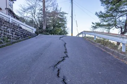
A significant earthquake shook the sparse desert landscape of West Texas on Saturday evening, marking the largest in a concerning series of tremors that have unsettled the region since early April.
The 5.3 magnitude earthquake struck at 7:47 p.m., with its epicenter located approximately 35 miles south of Whites City, New Mexico, in an isolated area roughly equidistant from Midland and El Paso, according to data from the U.S. Geological Survey.
Underground activity intensifies
The tremor originated roughly 4 miles beneath the earth’s surface—a relatively shallow depth that typically has greater potential for surface impact, though the remote location mitigated widespread damage concerns. The quake was the most substantial in a swarm of seismic events that have been recorded in the area for over a month.
Escalating pattern
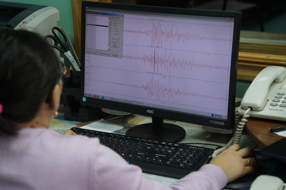
The USGS has documented 46 earthquakes of varying magnitudes in the region since early April, with Saturday’s event representing a significant escalation. Scientists are monitoring the situation closely, as they anticipate potential aftershocks. The geological agency estimates a 65 percent probability of at least one strong aftershock within the week following the initial disturbance.
Two additional tremors registered on the same evening—measuring 3.4 and 2.9 in magnitude—further demonstrating the unstable geological conditions beneath this typically quiet corner of Texas. Residents more than 100 miles away in El Paso felt the effects of the strongest quake, according to local reports.
Regional response and impact
Despite the considerable force of Saturday’s earthquake, the absence of dense population centers near the epicenter has fortunately resulted in no reported injuries or significant structural damage. The tremor’s impact was nonetheless felt across a wide area, with residents from Arlington, Midland, and Lubbock submitting reports to the USGS “Did You Feel It?” program, which collects firsthand accounts of earthquake experiences.
Silent threat beneath the surface
The ongoing seismic activity represents an unusual phenomenon for this part of Texas, which typically experiences limited earthquake activity compared to more notoriously unstable regions like California. The recent series of tremors has drawn increased attention from geologists and raised questions about potential contributing factors.
While some earthquakes in Texas occur naturally due to tectonic movements, scientists have increasingly documented connections between certain seismic events and human industrial activities. The proliferation of oil and gas extraction operations in the Permian Basin region has sparked ongoing research into possible correlations between resource extraction methodologies and increased earthquake frequency.
Understanding geological vulnerabilities
West Texas sits within the southern extension of the Rio Grande Rift, a major geological feature that creates natural fault lines throughout the region. These preexisting weaknesses in the earth’s crust can be activated by various forces, resulting in the release of stored energy in the form of earthquakes.
Risk assessment
The USGS assessment indicated that ground failure, landslides, and liquefaction—a dangerous condition where soil behaves like liquid during seismic events—were unlikely outcomes from this particular earthquake. However, the clustering of multiple events in close succession raises additional concerns among geological experts.
Geological experts note that swarm behavior like this typically indicates fundamental changes in subsurface conditions. These sequences provide valuable information about underlying geological processes that might otherwise remain undetected, according to researchers who study earthquake patterns in historically stable regions.
Preparedness in unexpected places
The recent tremors serve as a reminder that earthquake preparedness isn’t exclusively relevant to residents of California and other well-known seismic zones. Even in regions where earthquakes are historically uncommon, basic safety measures can prove crucial when unexpected seismic events occur.
Essential safety protocols
Emergency management officials recommend that all households maintain basic earthquake preparedness, including securing heavy furniture and fixtures that could become dangerous during ground movement. Creating a family emergency plan with designated meeting locations and communication protocols can significantly improve outcomes during unexpected crises.
Maintaining an emergency supply kit with adequate water, non-perishable food, necessary medications, and basic first aid supplies allows households to remain self-sufficient during potential service disruptions following seismic events.
Scientific monitoring continues
Seismologists will continue to closely monitor this region in the coming weeks, tracking both the frequency and intensity of any aftershocks. This data helps refine understanding of geological processes and improves future risk assessments across Texas and neighboring states.
The clustering of earthquakes in typically stable regions provides valuable research opportunities for scientists working to develop more accurate predictive models. Each recorded tremor contributes to a growing database that helps identify patterns and potential warning signs for future seismic events.
As residents across West Texas process this unusual geological activity, the scientific community sees it as part of a broader pattern requiring continued attention and research. Whether these tremors represent a temporary anomaly or signal a longer-term shift in regional seismic behavior remains a question that only continued monitoring and analysis can answer.
For a region more accustomed to concerns about drought and heat than trembling ground, the recent earthquake serves as a humble reminder of nature’s unpredictable power—even in the seemingly stable expanses of West Texas.