Northern California residents experienced a gentle reminder of the region’s seismic activity Monday evening when a minor earthquake rippled through the area west of Los Banos. The 3.3-magnitude temblor, while relatively small by California standards, provided a brief moment of awareness for residents in this earthquake-prone region.
The United States Geological Survey recorded the earthquake at 6:37 p.m. Pacific time, with its epicenter located approximately 16 miles west of Los Banos and about 30 miles southeast of San Jose. The timing during the dinner hour meant many residents were at home when the ground briefly trembled beneath their feet.
While earthquakes of this magnitude rarely cause damage or significant concern, they serve as important reminders of the constant geological activity occurring beneath California‘s surface and the importance of earthquake preparedness in seismically active areas.
Understanding the earthquake’s characteristics
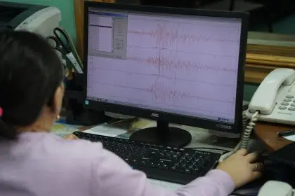
The earthquake initially registered as a 3.6-magnitude event according to preliminary data from the United States Geological Survey. However, as seismologists analyzed additional information and refined their calculations, the official magnitude was revised downward to 3.3, demonstrating the ongoing process of earthquake analysis.
This type of magnitude revision is common in earthquake reporting, as initial automated systems provide rapid estimates that are later refined through human analysis and additional data collection. The scientific process ensures accuracy while providing timely information to the public about seismic events.
The earthquake’s depth and location place it within the complex network of fault systems that characterize Northern California’s geological landscape. This region sits at the intersection of several tectonic plates, creating the conditions that generate both minor tremors and potentially significant seismic events.
The intensity mapping shows areas where shaking reached level 3 or higher on the Modified Mercalli Intensity Scale, which the geological survey defines as “weak” shaking. This level of intensity typically produces noticeable motion but rarely causes damage to well-built structures.
Regional context and seismic activity
Northern California’s position along the Pacific Ring of Fire makes earthquakes a regular occurrence, with hundreds of small temblors recorded throughout the region each year. Most of these events go unnoticed by residents, as they fall below the threshold of human perception.
The Los Banos area, where Monday’s earthquake occurred, sits within the broader San Francisco Bay Area seismic zone, which includes numerous active fault systems. The region’s geological complexity results from the ongoing interaction between the Pacific and North American tectonic plates.
The proximity to San Jose, a major metropolitan area, means that even minor earthquakes in this region can be felt by hundreds of thousands of residents. However, the distance and relatively small magnitude of Monday’s event likely limited the number of people who actually felt the shaking.
Seismologists continuously monitor this region using a network of sensitive instruments that can detect even the smallest ground movements. This monitoring system provides crucial data for understanding earthquake patterns and improving seismic hazard assessments.
The science behind earthquake measurement
Earthquake magnitude measurement has evolved significantly since the original Richter scale was developed, with modern seismologists using the moment magnitude scale for more accurate assessments of earthquake size. This system better represents the total energy released during seismic events.
The 3.3 magnitude of Monday’s earthquake places it in the category of minor earthquakes that are typically felt by people but rarely cause damage to properly constructed buildings. On the logarithmic scale used for earthquake measurement, each whole number increase represents a tenfold increase in measured amplitude.
Intensity measurements differ from magnitude by describing the effects of earthquake shaking at specific locations rather than the total energy released. These measurements help scientists understand how earthquake waves travel through different geological materials and affect various areas.
The revision process for earthquake measurements involves analyzing data from multiple seismic stations, calculating precise locations and depths, and applying sophisticated algorithms to determine the most accurate magnitude and intensity values.
Aftershock potential and monitoring
Following any earthquake, seismologists closely monitor the region for potential aftershocks, which are smaller earthquakes that occur in the same general area as the main event. These secondary earthquakes represent adjustments along the fault that slipped during the original temblor.
Aftershocks can occur within minutes, hours, days, or even years after the initial earthquake, though they typically decrease in frequency and magnitude over time. In rare cases, aftershocks can be equal to or larger than the original earthquake, though this is uncommon for minor events like Monday’s tremor.
The geological survey maintains detailed databases of earthquake activity that help scientists identify patterns and relationships between seismic events. This information contributes to improved understanding of regional seismic hazards and earthquake forecasting capabilities.
Residents in earthquake-prone areas are encouraged to remain prepared for seismic activity regardless of recent earthquake patterns, as the timing and magnitude of future events remain unpredictable despite advances in seismological understanding.
Public response and awareness
Minor earthquakes like Monday’s event often generate discussion on social media platforms as residents share their experiences and confirm whether others felt the shaking. These personal accounts provide valuable data for seismologists studying earthquake effects.
The “Did You Feel It?” program operated by the geological survey collects reports from the public about earthquake experiences, creating detailed maps of shaking intensity across affected regions. These crowdsourced data complement instrumental measurements and help scientists understand earthquake impacts.
Emergency management agencies use minor earthquakes as opportunities to remind residents about earthquake preparedness, including the importance of securing heavy objects, identifying safe spaces, and maintaining emergency supplies.
The relatively routine nature of small earthquakes in California means that most residents are accustomed to minor shaking and understand basic safety procedures, though newcomers to the region may find the experience more concerning.
Earthquake preparedness recommendations
California residents are encouraged to practice the “Drop, Cover, and Hold On” response during earthquake shaking, which involves dropping to hands and knees, taking cover under a sturdy desk or table, and holding on until shaking stops.
Emergency supply kits should include water, non-perishable food, flashlights, battery-powered radios, first aid supplies, and important documents stored in waterproof containers. These supplies become crucial if earthquakes damage infrastructure or utilities.
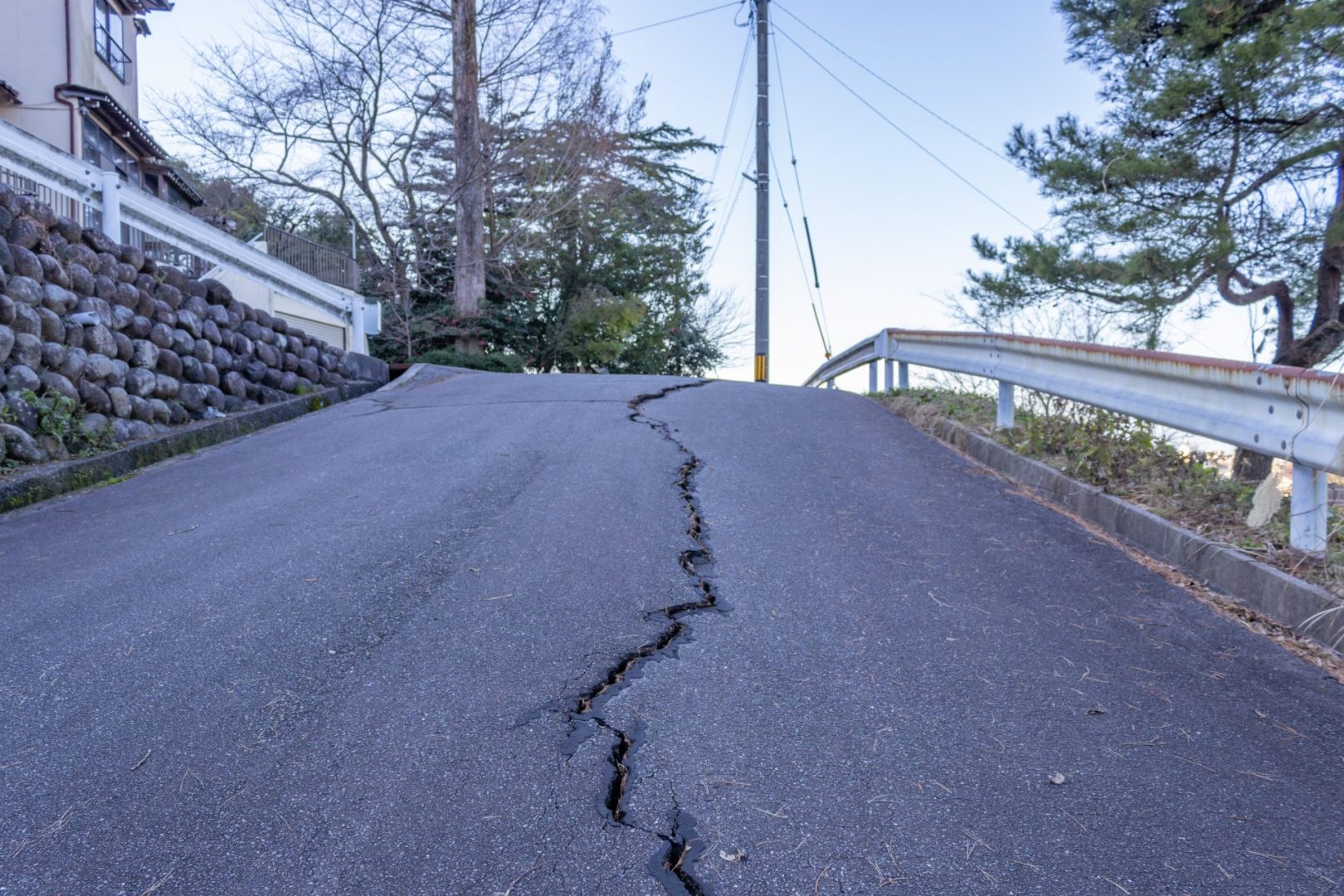
Building assessments following earthquakes help identify potential structural damage that may not be immediately visible. Residents should check for cracks in walls, damage to foundations, and problems with gas or water lines that could pose safety hazards.
Family emergency plans should include meeting locations, contact information for out-of-area relatives, and procedures for different scenarios such as being separated during an earthquake or needing to evacuate damaged buildings.
Historical seismic context
Northern California has experienced numerous significant earthquakes throughout recorded history, including the devastating 1906 San Francisco earthquake and the 1989 Loma Prieta earthquake that caused extensive damage throughout the Bay Area.
These major events have shaped building codes, emergency preparedness procedures, and public awareness of seismic hazards throughout the region. Modern construction standards incorporate lessons learned from previous earthquakes to improve structural resilience.
The geological survey maintains detailed records of historical earthquakes that help scientists understand long-term patterns of seismic activity and estimate probabilities for future significant events in different regions of California.
Research into historical earthquakes also provides insights into the behavior of specific fault systems and helps identify areas that may be at higher risk for future seismic activity based on patterns of past events.
Technology and earthquake detection
Modern seismic monitoring networks use sophisticated instruments capable of detecting ground movements smaller than the width of human hair. These sensitive devices provide real-time data about earthquake activity throughout California and other seismically active regions.
Early warning systems under development aim to provide seconds to minutes of advance notice before strong shaking arrives at populated areas. These systems could allow automatic shutdown of critical infrastructure and give people time to take protective actions.
Smartphone applications can now detect earthquake shaking using built-in accelerometers, turning millions of phones into potential seismic sensors. This technology supplements traditional monitoring networks and provides additional data about earthquake effects.
Satellite technology contributes to earthquake research by measuring ground deformation that occurs during and after seismic events. These measurements help scientists understand fault behavior and earthquake processes in unprecedented detail.
Looking ahead
While Monday’s minor earthquake poses no ongoing threat to public safety, it serves as a valuable reminder of the importance of earthquake preparedness in seismically active regions like Northern California.
Continued monitoring and research help scientists better understand earthquake processes and improve their ability to assess seismic hazards. This ongoing work contributes to more effective building codes, emergency planning, and public safety measures.
The predictable unpredictability of earthquakes means that residents must maintain constant readiness for seismic events while continuing to live normal lives in earthquake-prone areas.
Education and preparedness remain the best tools for protecting lives and property in seismically active regions, as even minor earthquakes remind us that larger events are always possible in geologically dynamic areas like Northern California.